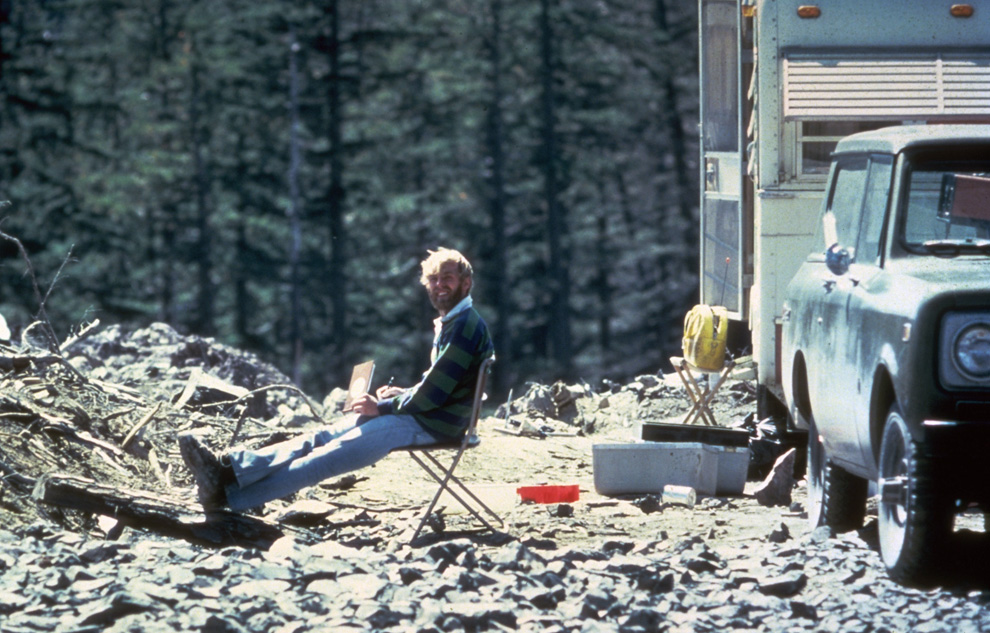
In this May 17, 1980 photo, 30-year old vulcanologist David Johnston is shown in the evening at his camp near what is now known as Johnston Ridge near Mount St. Helens. At 8:32 a.m. the next morning, Johnston radioed a message to the USGS headquarters: "Vancouver, Vancouver, this is it!", shortly before he was killed by the massive eruption of the volcano that also killed 56 others. (AP Photo/USGS Cascades Volcano Observatory, Harry Glicken) #
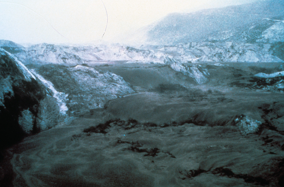
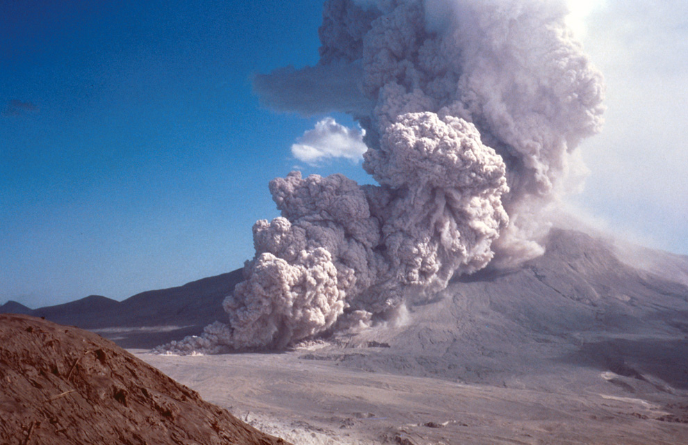
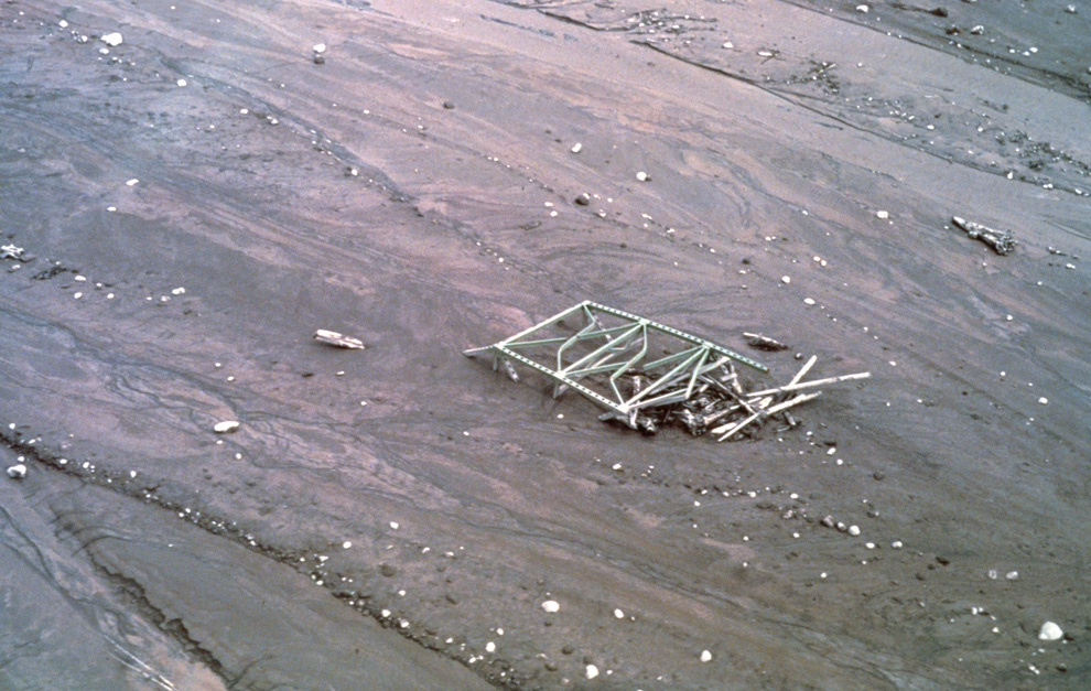
Thick hot mudflows begin to move downstream from the blast material deposited in the North Fork Toutle River valley downslope from erupting Mount St. Helens on May 18, 1980. This mudflow took nine hours to build in size sufficient to reach through the blasted material and move downstream to the Cowlitz River valley. The mudflow on the South Fork Toutle River arrived at Castle Rock, Washington, about 45 miles from the volcano, three hours after the eruption. (Harry Glicken) #
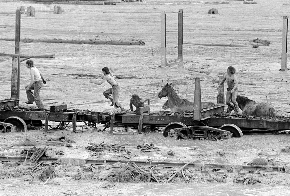
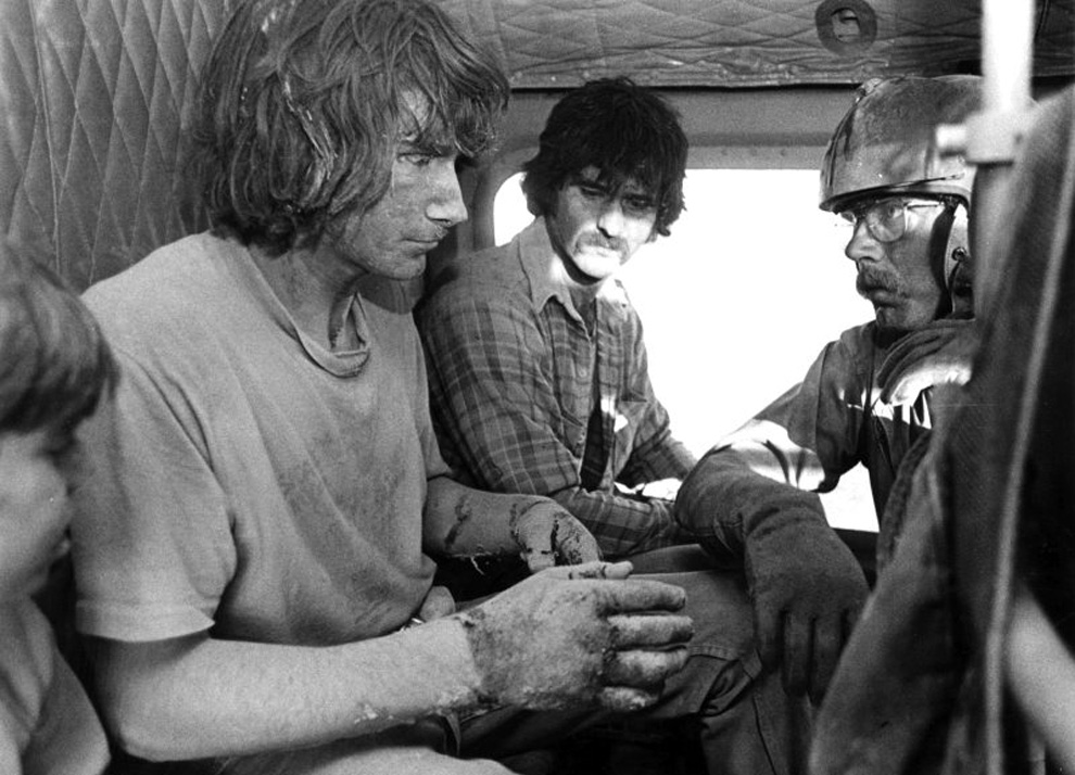
Bob Brown (right), John Brown and two other unidentified people are shown May 19, 1980 climbing onto a railroad car and heading down the train. The would-be horse rescuers gave up their efforts as they fled for their lives as flood waters from the Toutle River begin a sudden rise. All four people reached safety but the horses were presumed to have drowned. (AP Photo/Gary Stewart) #
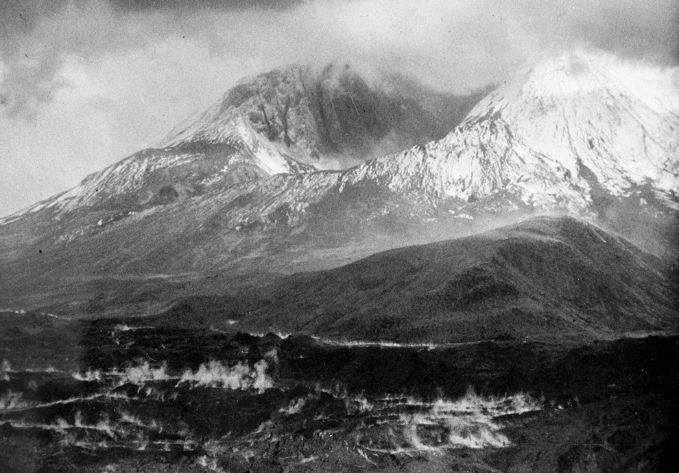
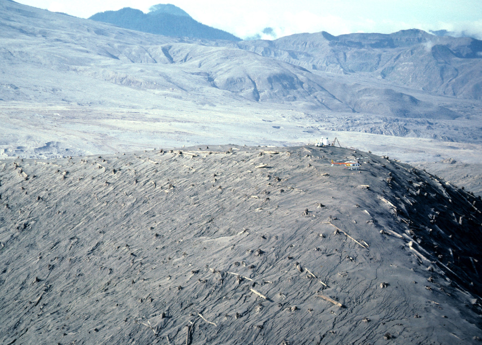
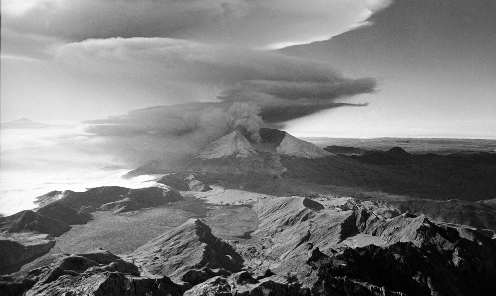
This aerial view shown May 23, 1980 from a search and rescue helicopter shows the new crater on Mount St. Helens formed by Sunday's massive eruption. Scientists described St. Helens' new horseshoe-shaped crater as about 5,000 feet deep and about 2 1/2 miles wide north to south on the north side of the mountain. (AP Photo/Gary Stewart) #
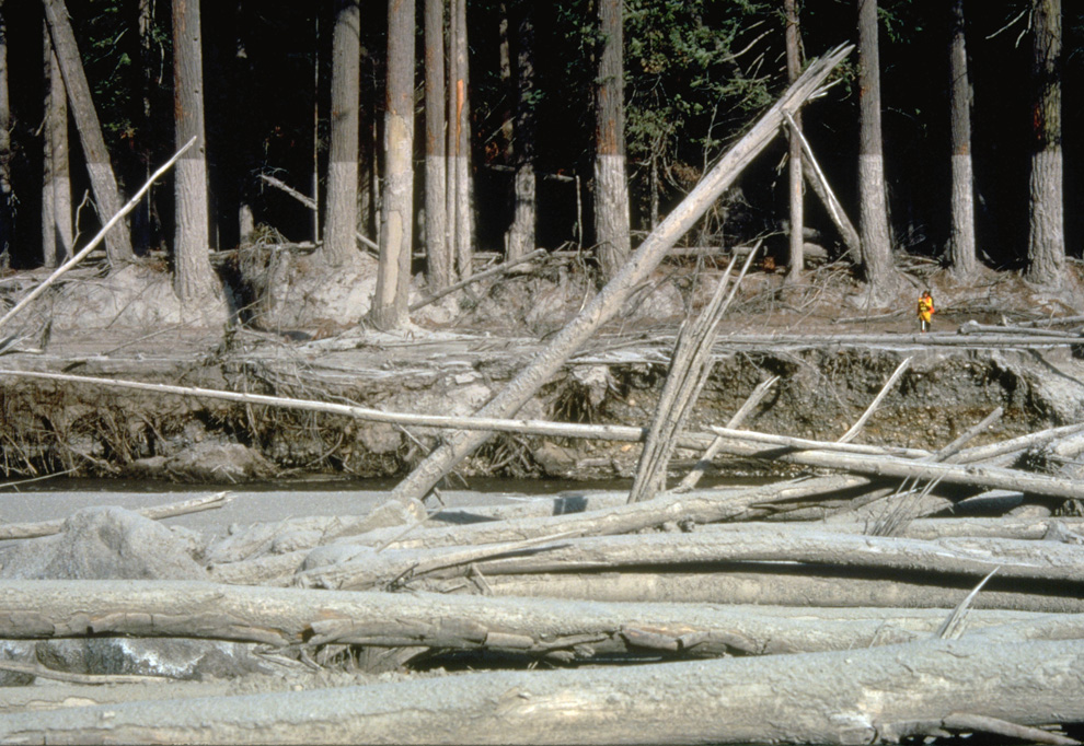
Nearly 135 miles (220 kilometers) of river channels surrounding the volcano were affected by the mudflows of May 18, 1980. A dirty line left behind on tree trunks shows the depth reached by the mud. A scientist (middle right) gives scale. This view is along the Muddy River, southeast of Mount St. Helens on October 23, 1980. (USGS/Lyn Topinka) #
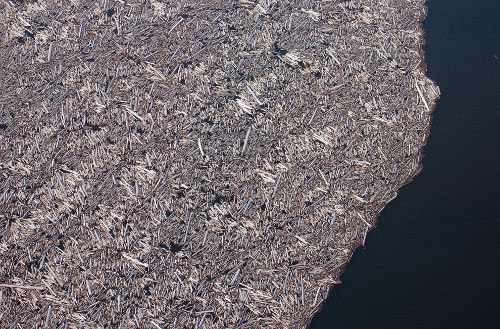
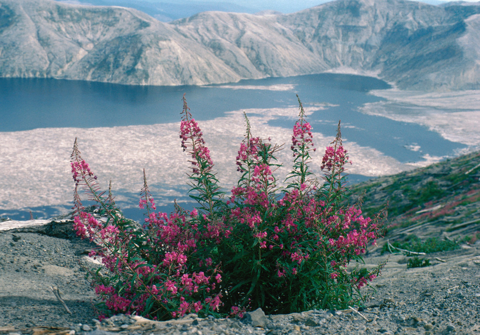
When Mount St. Helens erupted, the preceding gigantic landslide actually displaced all of the water in nearby Spirit Lake, which washed up hillsides, then splashed back down, dragging debris and fallen trees into its new lakebed. This March 29, 2007 photograph shows just a portion of the thousands of trees that remain floating in a giant raft on the surface of the lake to this day. (USGS/Cindy Werner) #

