Friday, May 28, 2010
Mount St. Helens, 30 years ago : Source Boston News
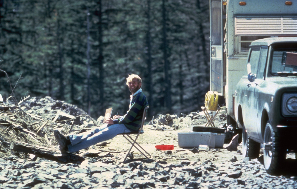
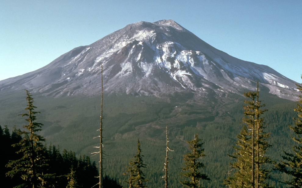
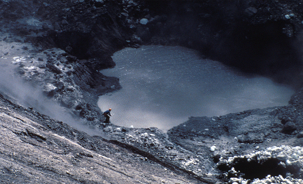
In this May 17, 1980 photo, 30-year old vulcanologist David Johnston is shown in the evening at his camp near what is now known as Johnston Ridge near Mount St. Helens. At 8:32 a.m. the next morning, Johnston radioed a message to the USGS headquarters: "Vancouver, Vancouver, this is it!", shortly before he was killed by the massive eruption of the volcano that also killed 56 others. (AP Photo/USGS Cascades Volcano Observatory, Harry Glicken) #
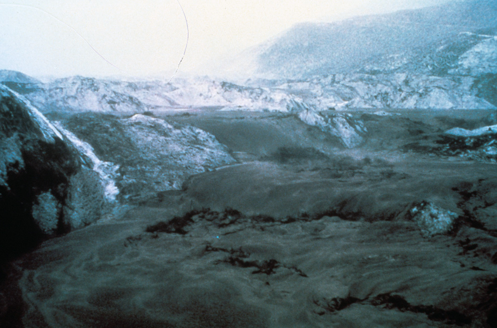
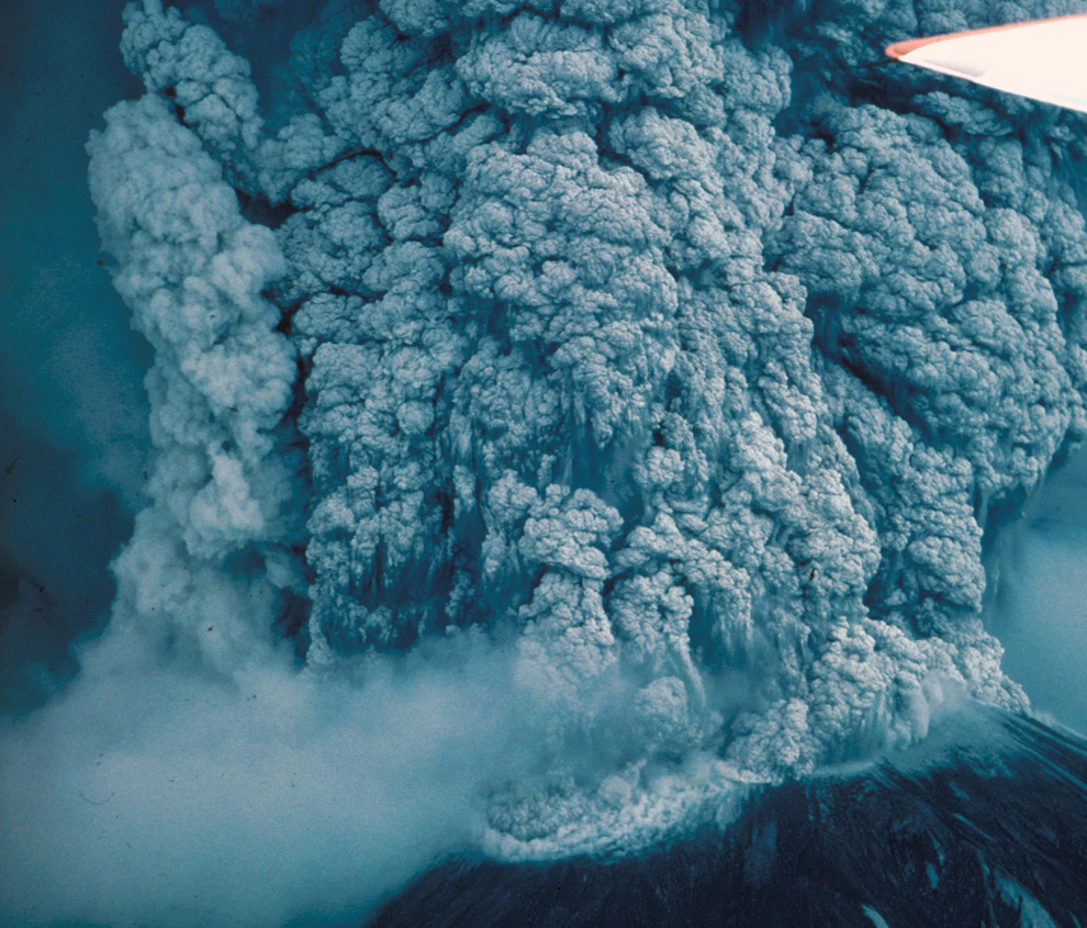
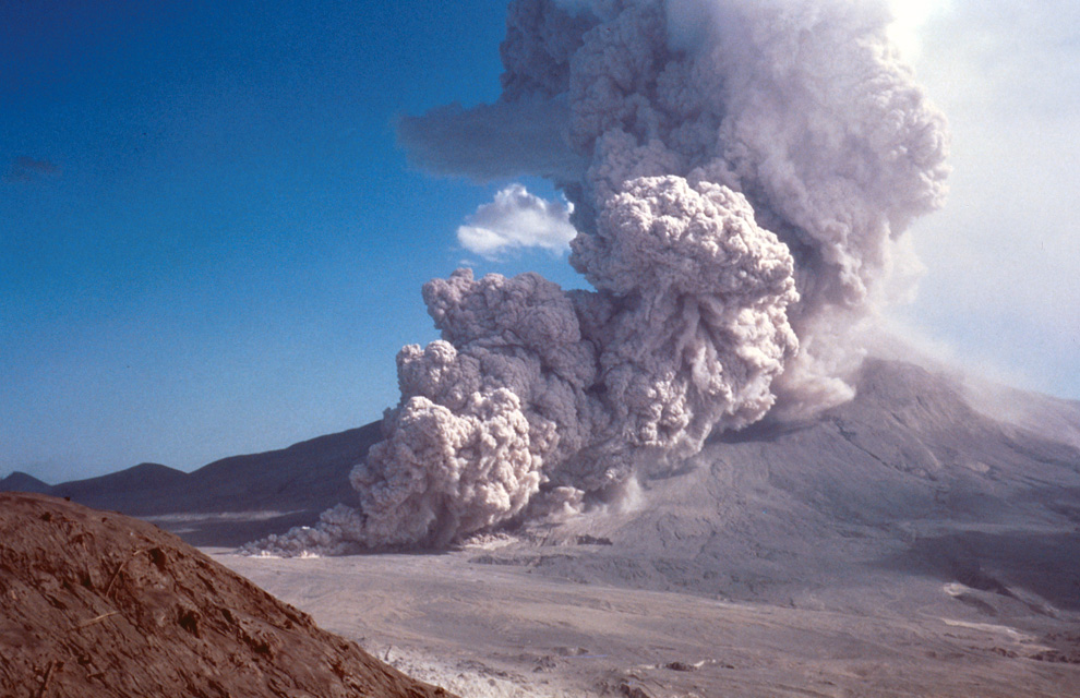
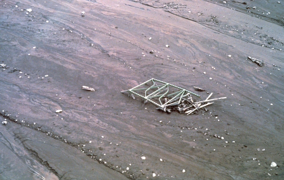
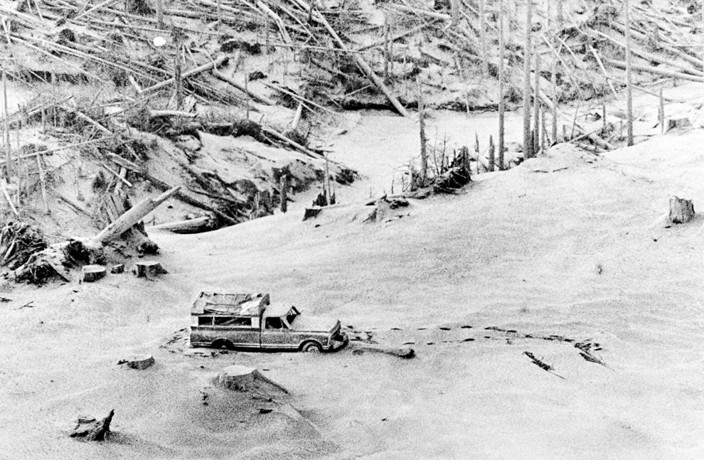
Thick hot mudflows begin to move downstream from the blast material deposited in the North Fork Toutle River valley downslope from erupting Mount St. Helens on May 18, 1980. This mudflow took nine hours to build in size sufficient to reach through the blasted material and move downstream to the Cowlitz River valley. The mudflow on the South Fork Toutle River arrived at Castle Rock, Washington, about 45 miles from the volcano, three hours after the eruption. (Harry Glicken) #
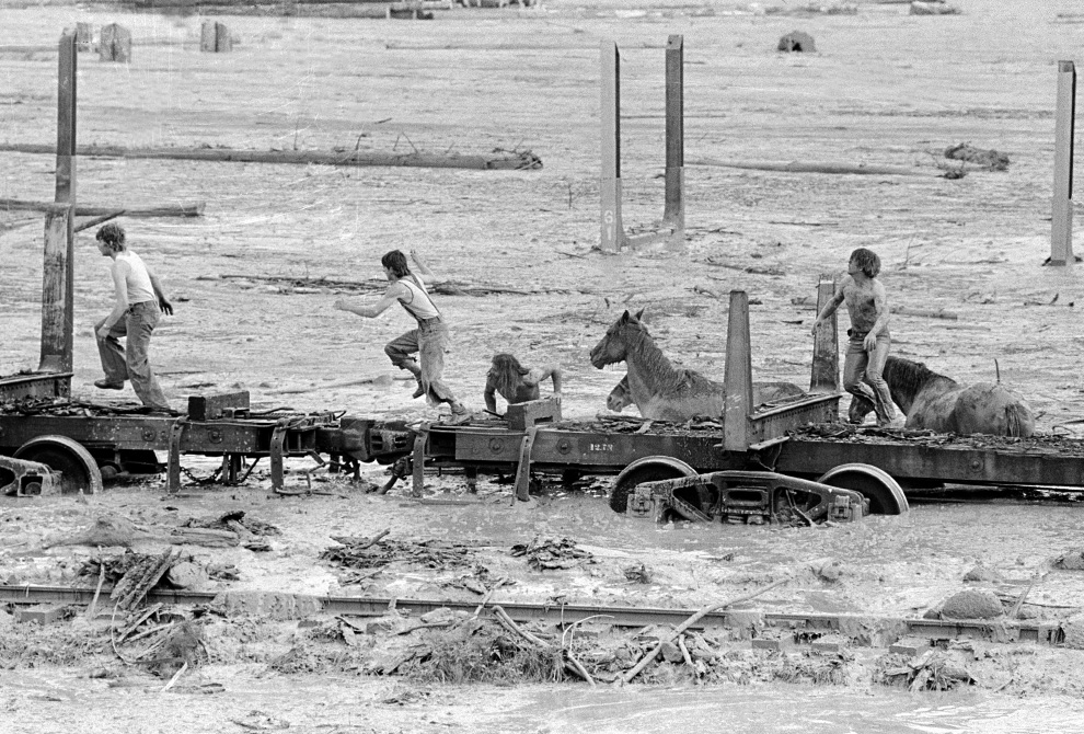
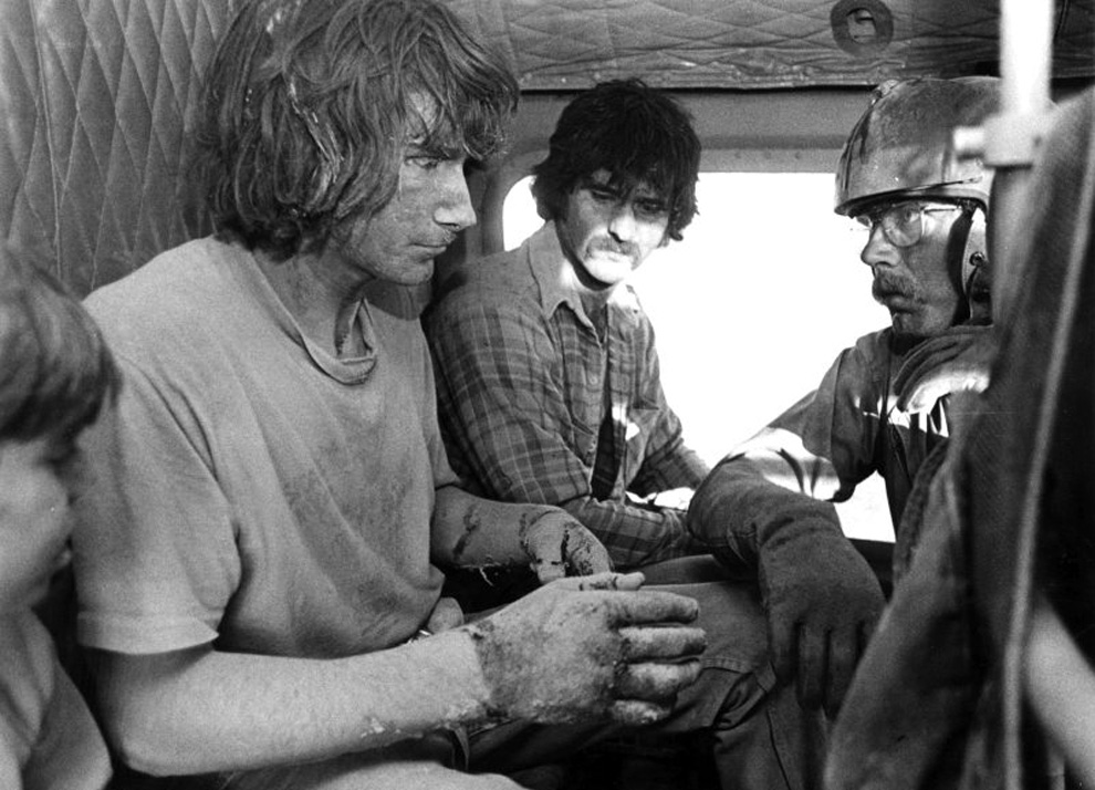
Bob Brown (right), John Brown and two other unidentified people are shown May 19, 1980 climbing onto a railroad car and heading down the train. The would-be horse rescuers gave up their efforts as they fled for their lives as flood waters from the Toutle River begin a sudden rise. All four people reached safety but the horses were presumed to have drowned. (AP Photo/Gary Stewart) #
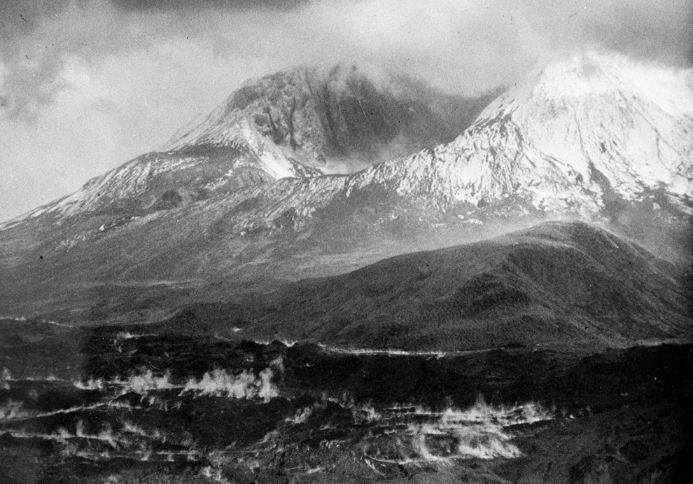
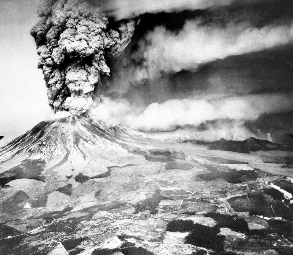
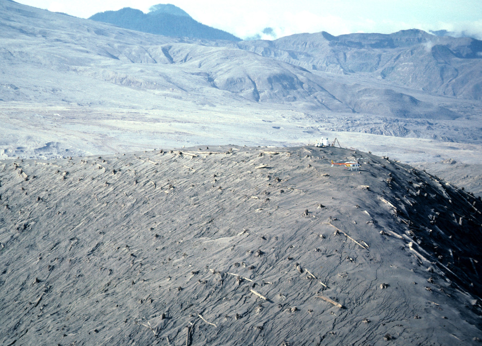
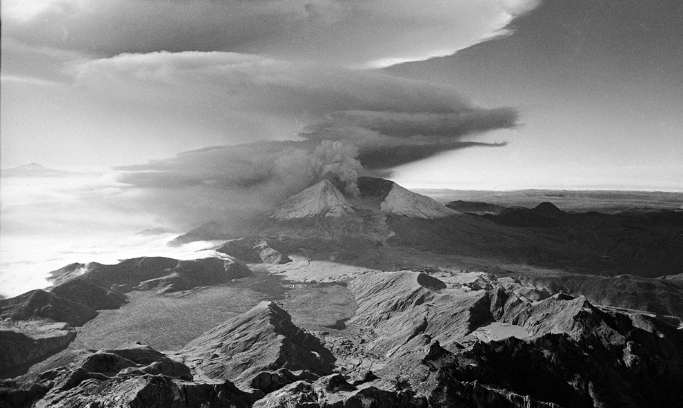
This aerial view shown May 23, 1980 from a search and rescue helicopter shows the new crater on Mount St. Helens formed by Sunday's massive eruption. Scientists described St. Helens' new horseshoe-shaped crater as about 5,000 feet deep and about 2 1/2 miles wide north to south on the north side of the mountain. (AP Photo/Gary Stewart) #
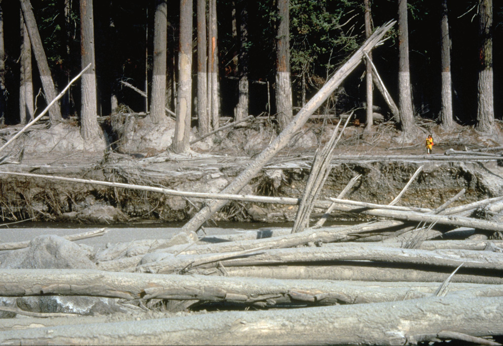
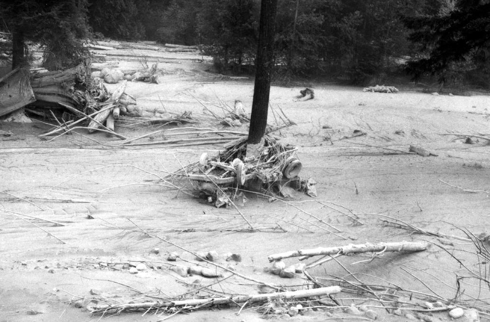
Nearly 135 miles (220 kilometers) of river channels surrounding the volcano were affected by the mudflows of May 18, 1980. A dirty line left behind on tree trunks shows the depth reached by the mud. A scientist (middle right) gives scale. This view is along the Muddy River, southeast of Mount St. Helens on October 23, 1980. (USGS/Lyn Topinka) #
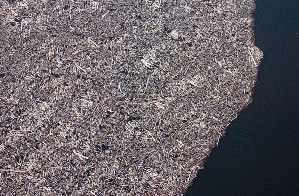
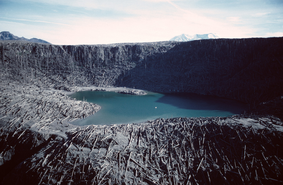
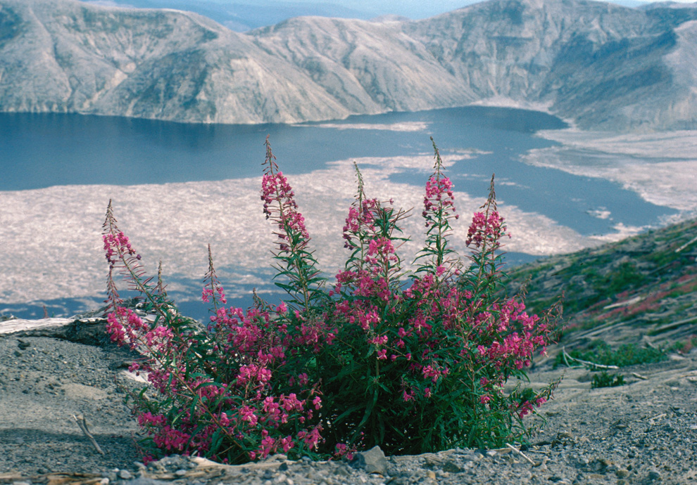
When Mount St. Helens erupted, the preceding gigantic landslide actually displaced all of the water in nearby Spirit Lake, which washed up hillsides, then splashed back down, dragging debris and fallen trees into its new lakebed. This March 29, 2007 photograph shows just a portion of the thousands of trees that remain floating in a giant raft on the surface of the lake to this day. (USGS/Cindy Werner) #
Disaster unfolds slowly in the Gulf of Mexico : Source Boston News
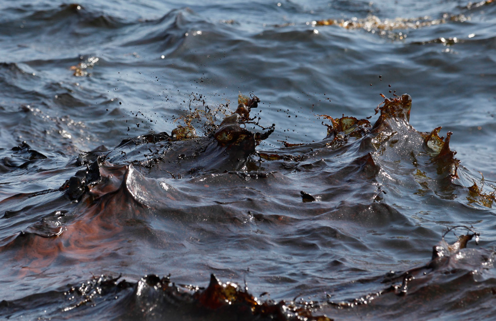
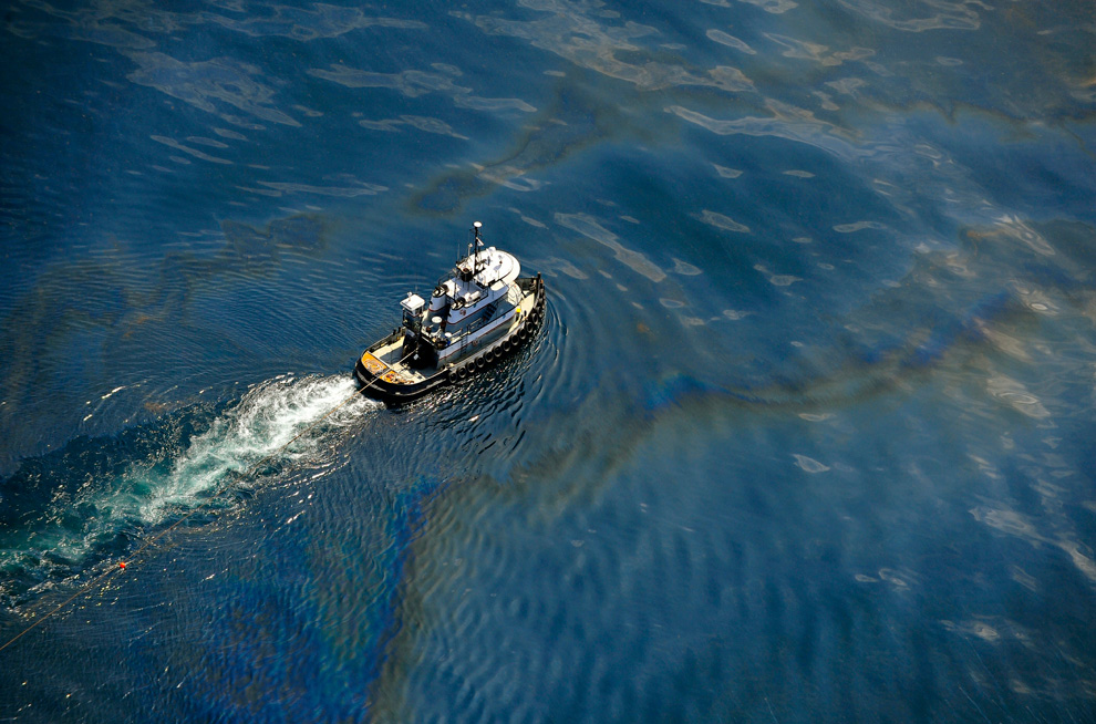
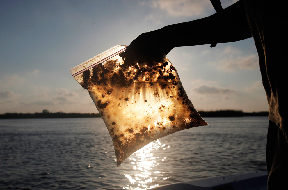
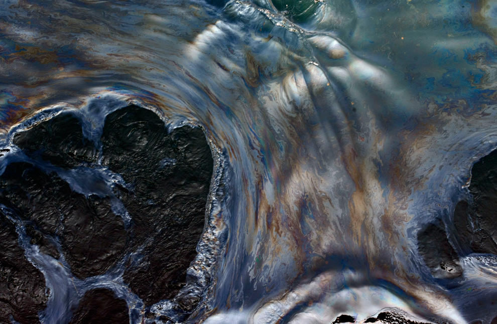
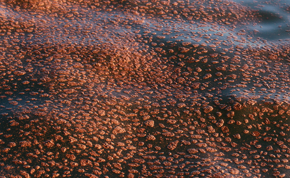
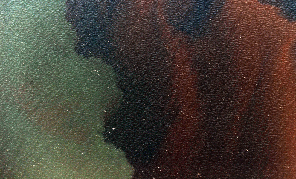
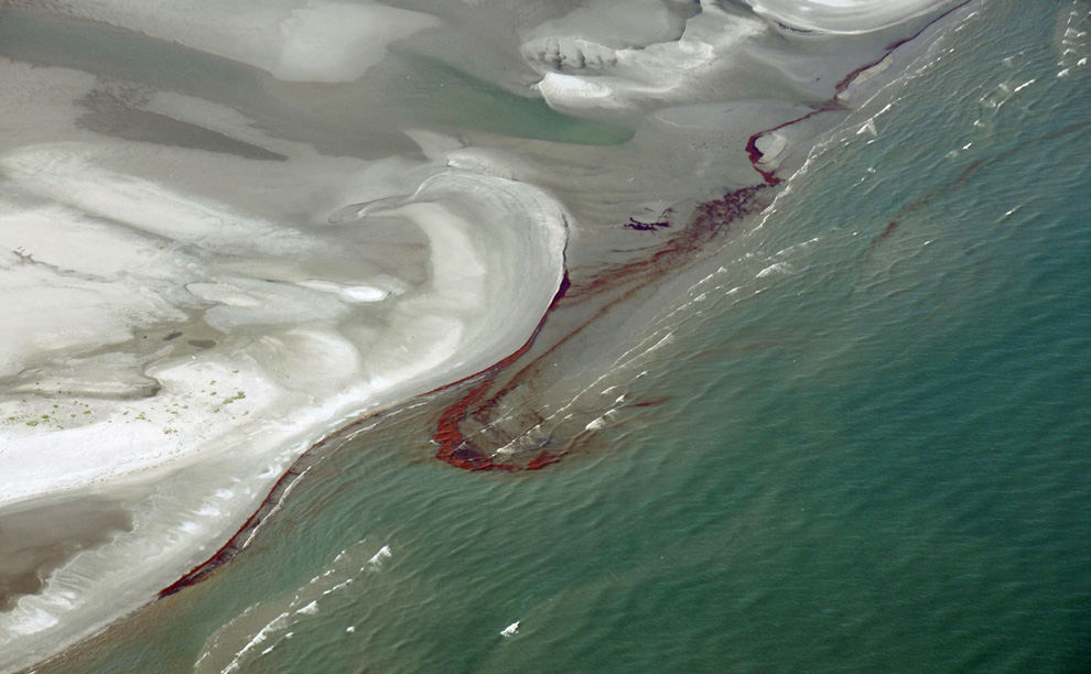
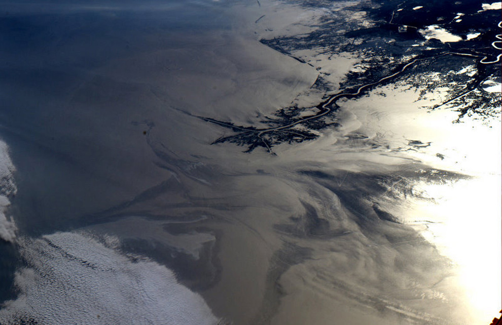
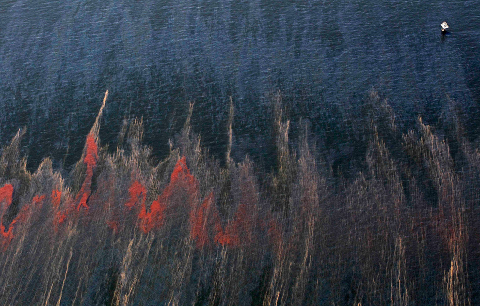
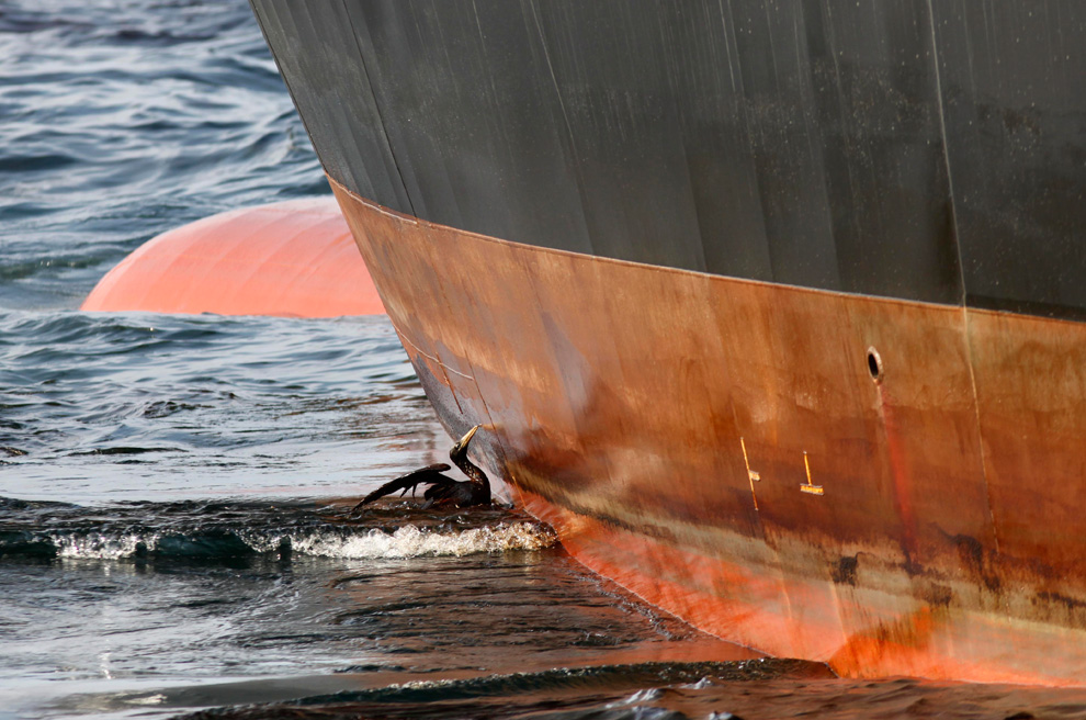
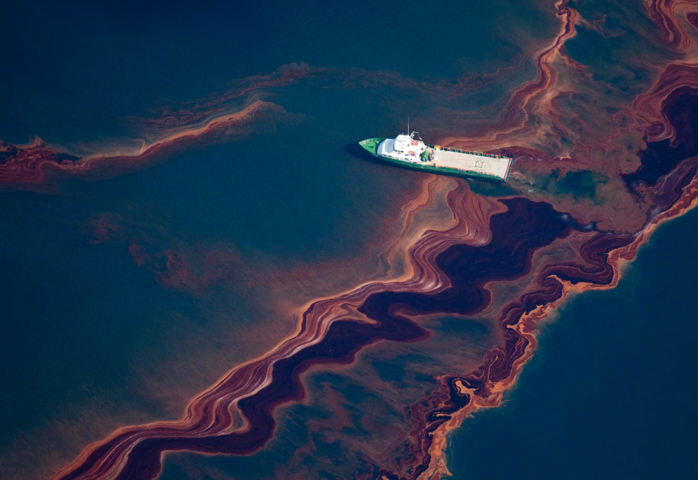
While visible damage to shorelines has been minimal to date as the oil has spread slowly, the scene remains, in the words of President Obama, a "potentially unprecedented environmental disaster." (40 photos total)
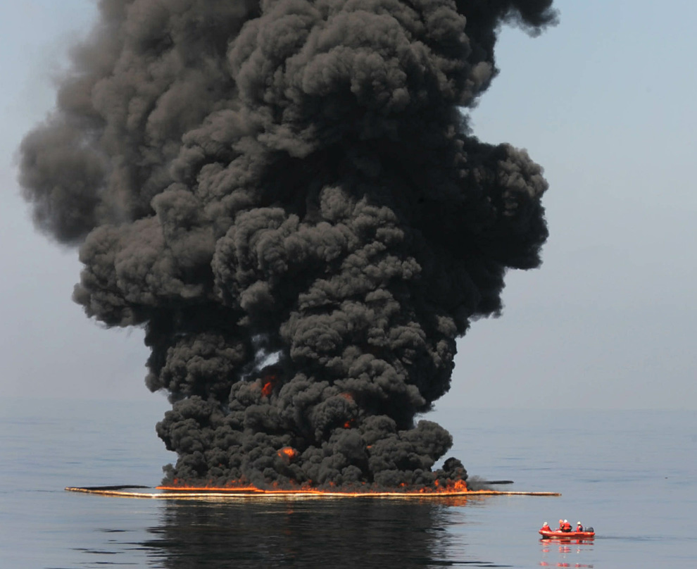
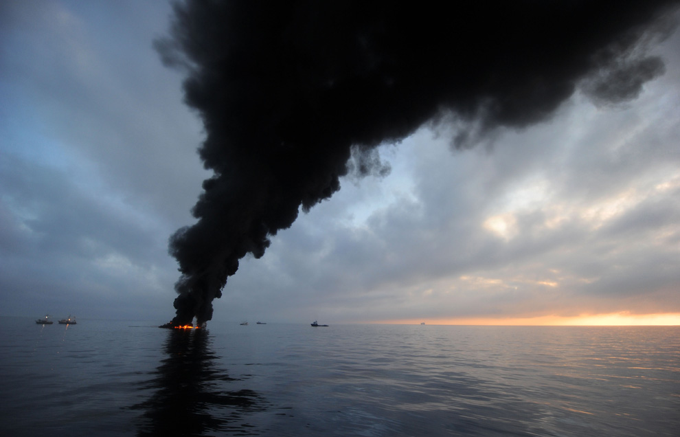
Oil burns during a controlled fire May 6, 2010 in the Gulf of Mexico. The U.S. Coast Guard is overseeing oil burns after the sinking, and subsequent massive oil leak, from the sinking of the Deepwater Horizon oil platform off the coast of Louisiana. (Justin E. Stumberg/U.S. Navy via Getty Images) #
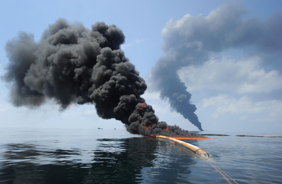
Dark clouds of smoke and fire emerge as oil burns during a controlled fire in the Gulf of Mexico, May 6, 2010. The U.S. Coast Guard working in partnership with BP PLC, local residents, and other federal agencies conducted the "in situ burn" to aid in preventing the spread of oil. (REUTERS/Mass Communication Specialist 2nd Class Justin Stumberg-US Navy) #

Oil washes onto the sides of a 100-ton concrete-and-steel pollution containment chamber as the mobile offshore drilling unit Q4000 lowers it into the water at the Deepwater Horizon site on May 6, 2010 in the Gulf of Mexico . The chamber was designed to cap the oil discharge that was a result of the Deepwater Horizon incident. (Patrick Kelley/U.S. Coast Guard via Getty Images) #

The single cable supporting the 100-ton oil containment device being lowered to the sea floor disappears into Gulf waters off the side of the Q400 mobile drilling platform on Sunday, May 9, 2010. Efforts to contain the leak with the device were unsuccessful due to ice crystals forming in its domed roof. (AP Photo/Gerald Herbert) #

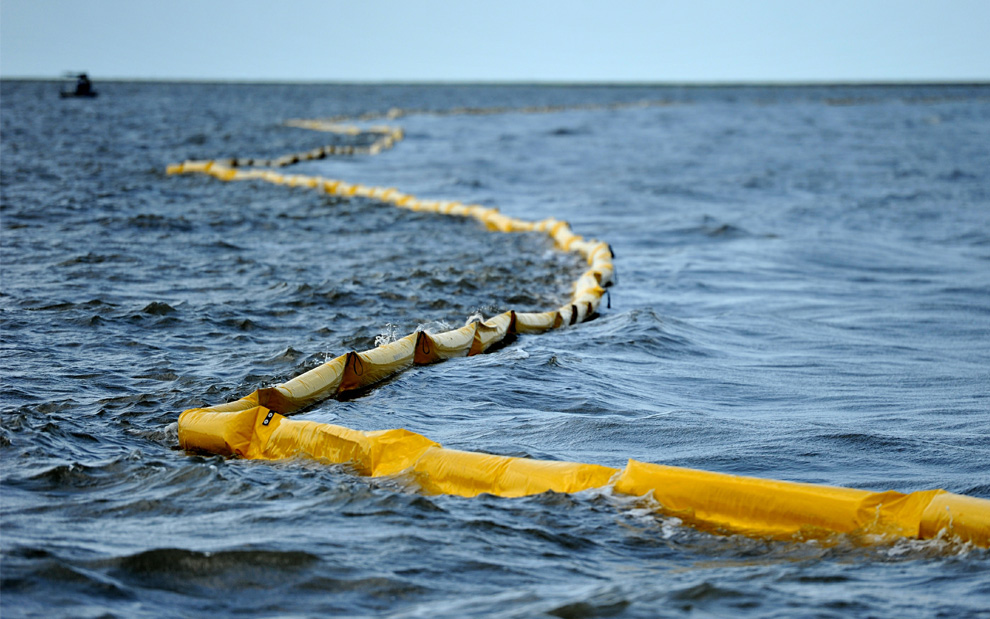
One of the New harbor Islands is protected by two oil booms against the oil slick that has passed inside of the protective barrier formed by the Chandeleur Islands, as cleanup operations continue for the BP Deepwater Horizon platform disaster off Louisiana, on May 10, 2010. (MARK RALSTON/AFP/Getty Images) #
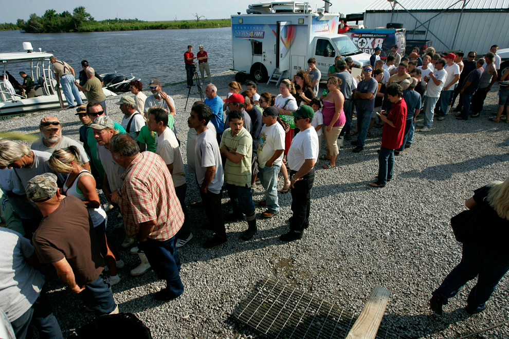
Unemployed commercial fishermen and their families wait in line to receive handouts from New Orleans Catholic Charities on May 5, 2010 in Hopedale, Louisiana. Many local fishermen have been temporarily shut down but have been hired by British Petroleum (BP) to lay oil booms in sensitive areas. (Sandy Huffaker/Getty Images) #

Captain Johnny Bourgeois and deckhand Chris Crappel (left) of Venice, Louisiana retie netting for shrimp trawling as they wait for the shrimp season to reopen in Venice, Louisiana May 9, 2010. Louisiana Department of Wildlife and Fisheries (LDWF) Secretary Robert Barham announced that the shrimp season in the territorial seas of the central coast of Louisiana from Four Bayou Pass to Freshwater Bayou were closed effective sunset Saturday. (REUTERS/Sean Gardner) #
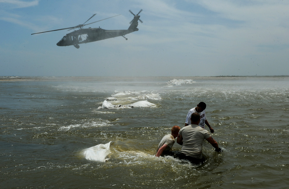
Louisiana National Guardsmen use Blackhawk helicopters to build a dam to protect the fragile wetlands known locally as "Bayou" near the town of Grand Isle, as work continues to protect the coastline from oil after the BP Deepwater Horizon platform disaster off Louisiana, on May 11, 2010. (MARK RALSTON/AFP/Getty Images) #
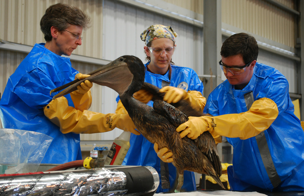
Danene Birtell and Dr. Erica Miller of Tristate Bird Rescue and Research and Heather Neville rinse off an oiled brown pelican which was captured on a barrier island off the fragile Louisiana coast on Tuesday, May 4, 2010 at a triage center in Fort Jackson, Louisiana. (MIRA OBERMAN/AFP/Getty Images) #
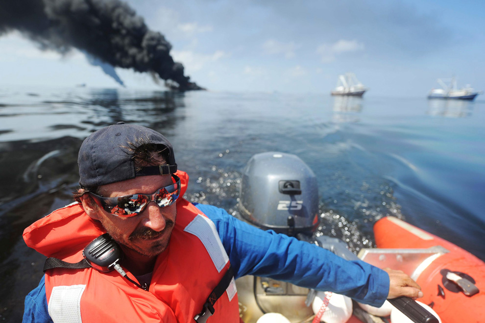
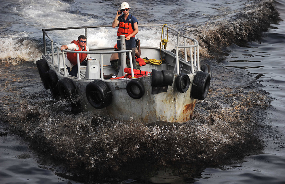
Steve Henne, of Marine Spill Response Corp., heads back to the Premier Explorer after a controlled burn in the Gulf of Mexico May 6, 2010. The U.S. Coast Guard working in partnership with BP PLC, local residents, and other federal agencies conducted the "in situ burn" to aid in preventing the spread of oil following the April 20 explosion on Mobile Offshore Drilling Unit Deepwater Horizon. Picture taken May 6, 2010. (REUTERS/Mass Communication Specialist 2nd Class Justin Stumberg-US Navy) #


